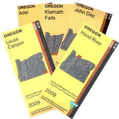
Maps for Oregon Hunting Units (Clickable areas may appear inaccurately on mobile devices)
Select a Hunting Unit
Oregon Hunting Unit 10
Oregon Hunting Unit 11
Oregon Hunting Unit 12
Oregon Hunting Unit 14
Oregon Hunting Unit 15
Oregon Hunting Unit 16
Oregon Hunting Unit 17
Oregon Hunting Unit 18
Oregon Hunting Unit 19
Oregon Hunting Unit 20
Oregon Hunting Unit 21
Oregon Hunting Unit 22
Oregon Hunting Unit 23
Oregon Hunting Unit 24
Oregon Hunting Unit 25
Oregon Hunting Unit 26
Oregon Hunting Unit 27
Oregon Hunting Unit 28
Oregon Hunting Unit 29
Oregon Hunting Unit 30
Oregon Hunting Unit 31
Oregon Hunting Unit 32
Oregon Hunting Unit 33
Oregon Hunting Unit 34
Oregon Hunting Unit 35
Oregon Hunting Unit 36
Oregon Hunting Unit 37
Oregon Hunting Unit 38
Oregon Hunting Unit 39
Oregon Hunting Unit 40
Oregon Hunting Unit 41
Oregon Hunting Unit 42
Oregon Hunting Unit 43
Oregon Hunting Unit 44
Oregon Hunting Unit 45
Oregon Hunting Unit 46
Oregon Hunting Unit 47
Oregon Hunting Unit 48
Oregon Hunting Unit 49
Oregon Hunting Unit 50
Oregon Hunting Unit 51
Oregon Hunting Unit 52
Oregon Hunting Unit 53
Oregon Hunting Unit 54
Oregon Hunting Unit 55
Oregon Hunting Unit 56
Oregon Hunting Unit 57
Oregon Hunting Unit 58
Oregon Hunting Unit 59
Oregon Hunting Unit 60
Oregon Hunting Unit 61
Oregon Hunting Unit 62
Oregon Hunting Unit 63
Oregon Hunting Unit 64
Oregon Hunting Unit 65
Oregon Hunting Unit 66
Oregon Hunting Unit 67
Oregon Hunting Unit 68
Oregon Hunting Unit 69
Oregon Hunting Unit 70
Oregon Hunting Unit 71
Oregon Hunting Unit 72
Oregon Hunting Unit 73
Oregon Hunting Unit 74
Oregon Hunting Unit 75
Oregon Hunting Unit 76
Oregon Hunting Unit 77
Oregon Hunting Unit 100
Show Maps
Scroll down to browse all maps