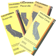
California BLM Maps
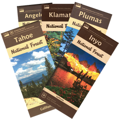
California Forest Service Maps
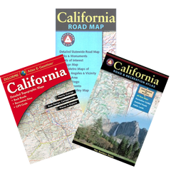
California Recreation Maps
California Deer Hunting
California Elk Hunting
California Pronghorn Antelope Hunting